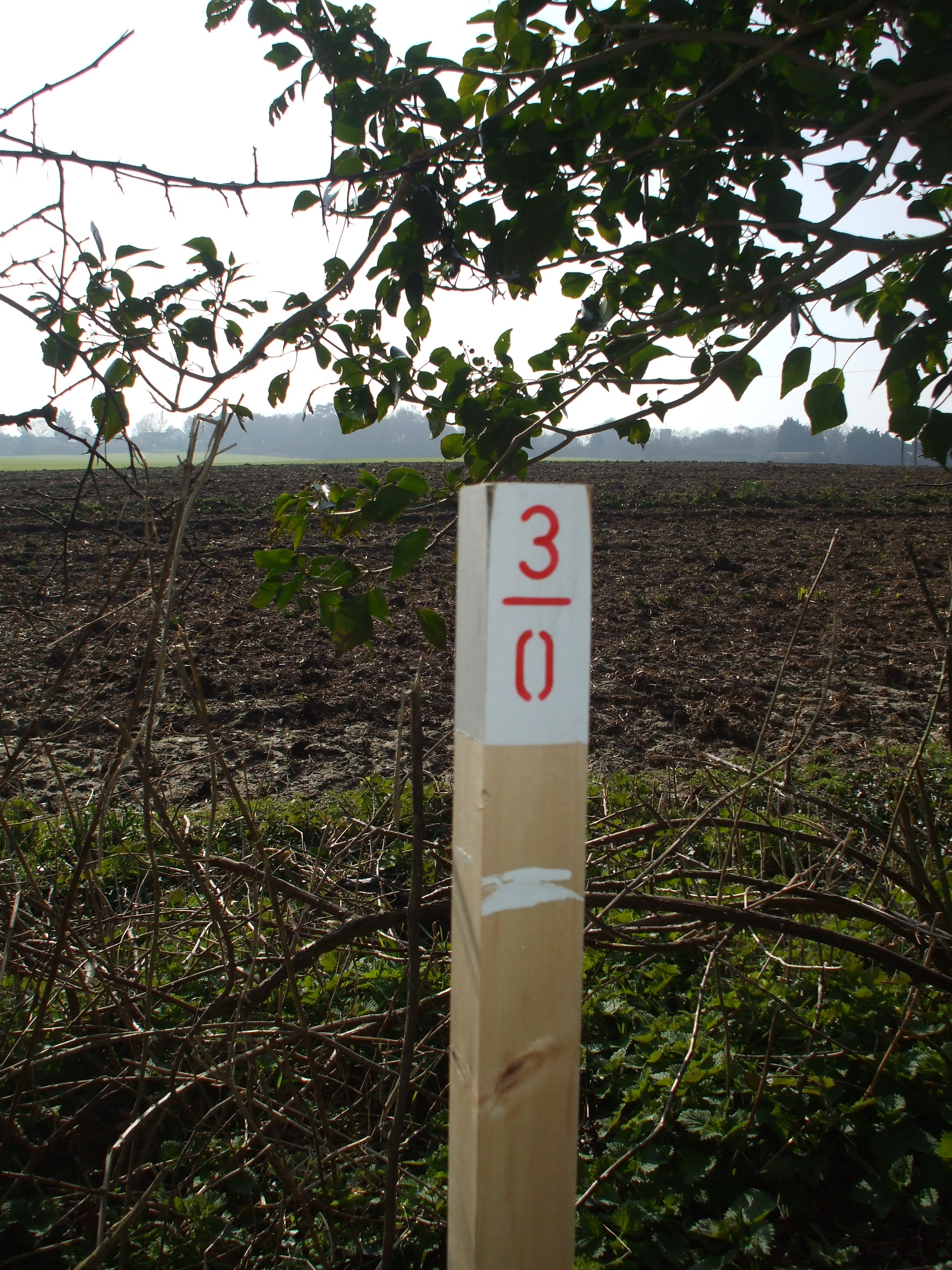
Wednesday March 12th saw a Wenhaston team onsite in the now-expected, but still unseasonal, sunshine. The main job on hand was to mark each chain end along the trackbed, so that the survey can have points for measurement – and also so that we can identify the individual chains and yards which our sponsors chose to be marked.
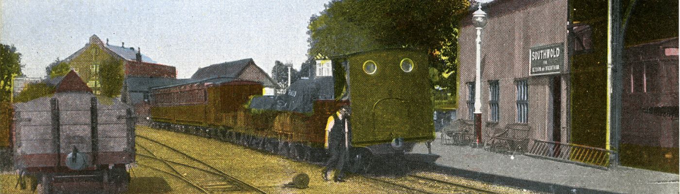
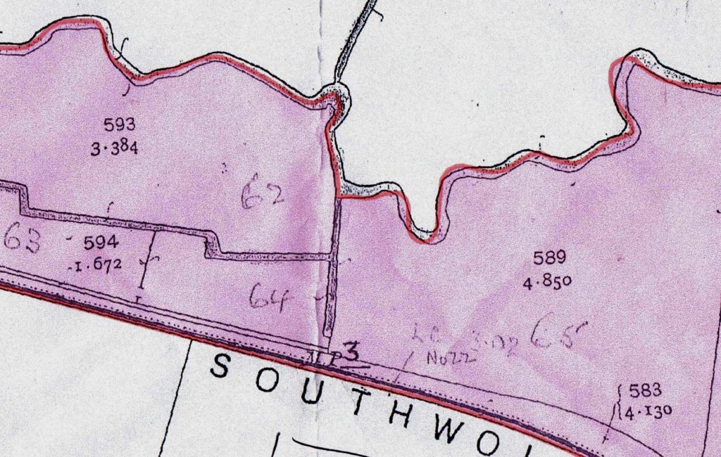
However, a fairly long, but good-tempered, discussion used up the first hour or so. We had a list of the chainage of various features, such as driftway or occupation crossings: we also had an old OS map showing the 3 Mile Post (measured from Halesworth buffer stop in the transhipment shed). But the two didn’t match, there being a discrepancy of almost 3 chains. This meant a great deal of walking up and down the trackbed, measuring, and calculation in a nasty mixture of metric and imperial, and various odd scales. After covering a number of sheets of paper with increasingly unreadable figures and calculations, we eventually decided that the Ordnance Survey were probably right.
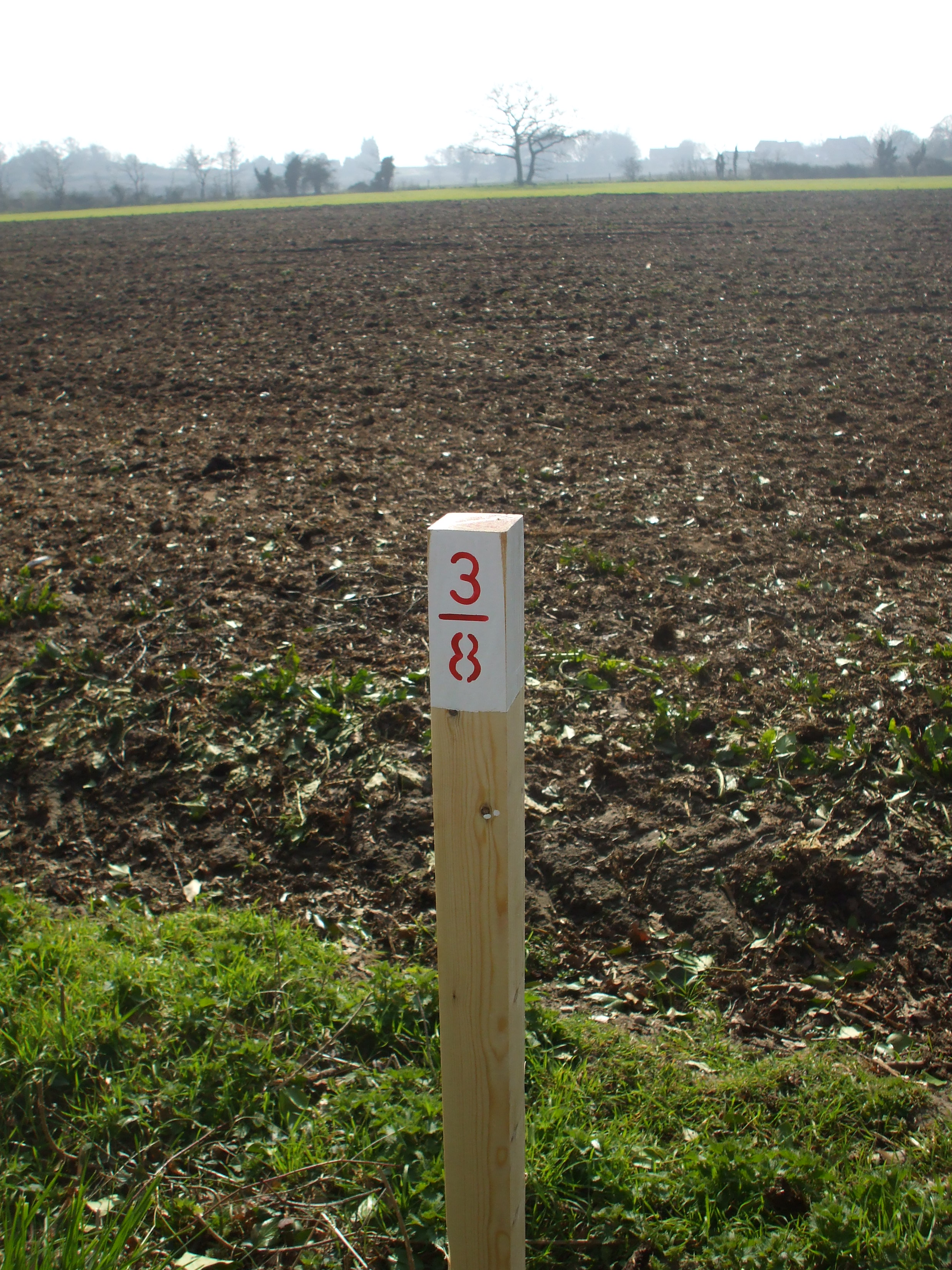
So we proceeded to mark the 3 Mile point with a (temporary) post, and then did the whole length of the wooded trackbed section. This was done with a tool that my last track gang (in North Wales) called a “Cyberman” (you’d have to see it to understand), which got heavier and heavier as the day proceeded.
Meanwhile, the other gang were stumping – well – in fact it was one stump, the worst yet, which apparently had a tap root like an inverted Eiffel Tower. Our pleas about the weight of the Cyberman received strangely little sympathy from the heavily-perspiring (but ultimately victorious) tree stump specialists.